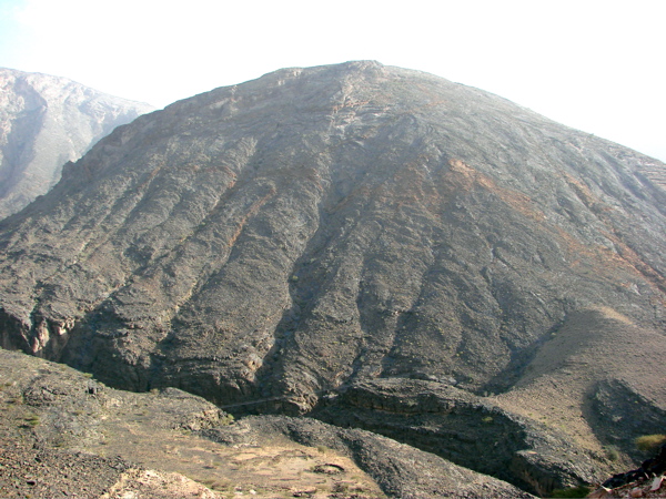
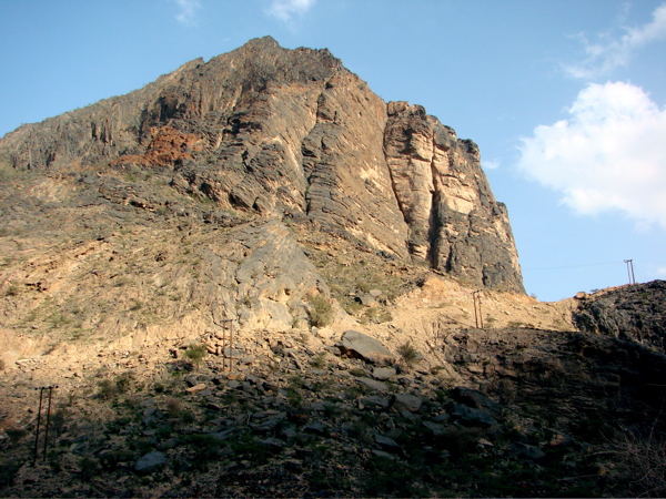
Western Hajar


- Site map
Outline
Wadi Sahtan
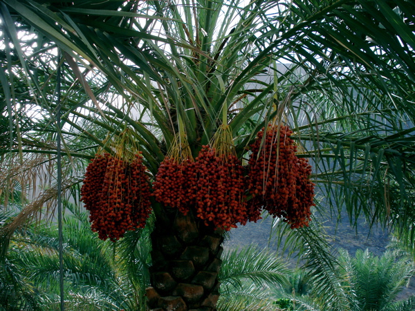
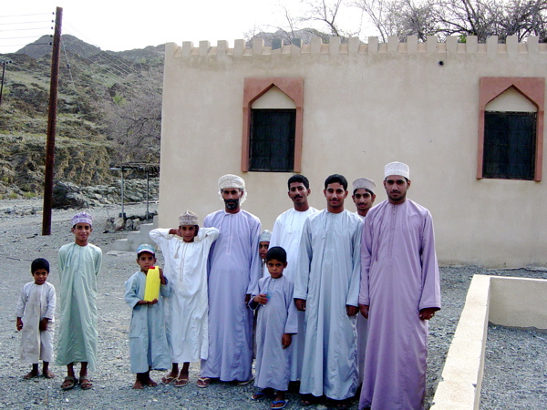
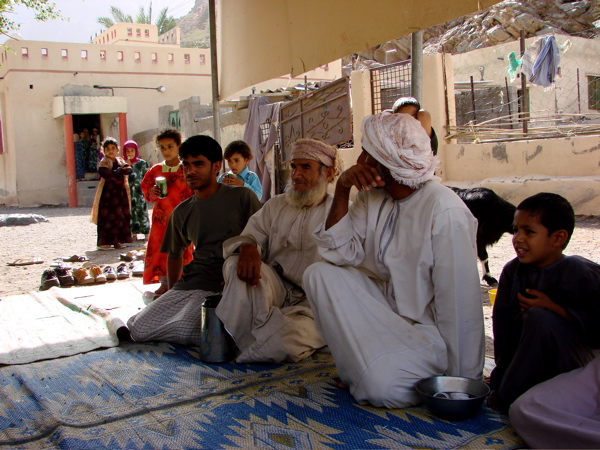
This area overflows naturally green, and you can see how Omani poeple live in the environment of Western Hajar mountains.
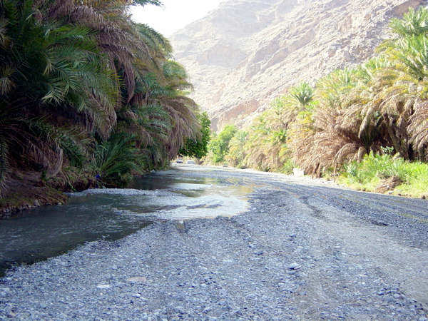
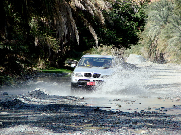
The wadi overflows water, which makes the river, and driving over the river with 4WD is refreshing.
However, Be aware that all roads may change into the river if you visit in the rainy season.
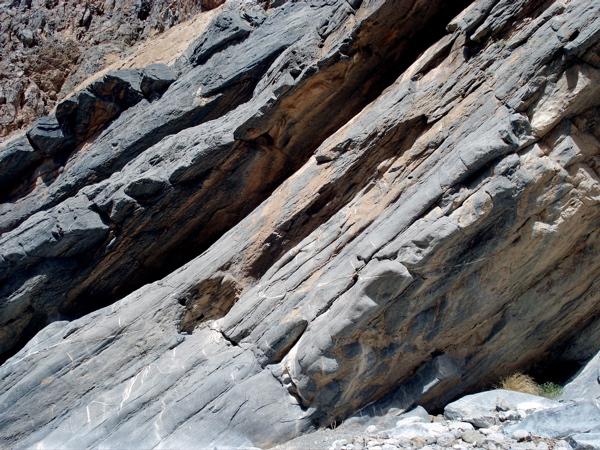
Driving is strict prohibition at nighttime. Please acknowledge that it is steep mountains such as regions of the environment that blows out easily because of the point of the rock and rapid slopes.
It is possible to go to this region only by the charter tour of 4WD or to rent a car (4WD is a must).
How to get to
From Nakhl
It takes 35 minutes by car. (Entrance)
From Rustaq
It takes 25 minutes by car. (Entrance)
From Muscat
It takes 2 hours by car. (Entrance)
Map

Area Highlights

Wadi Sahtan
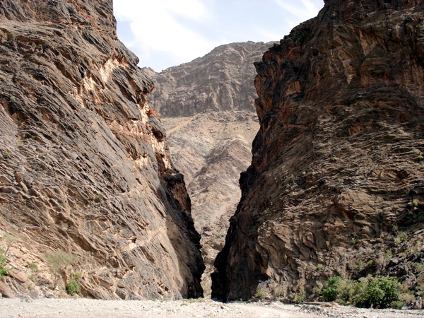
It is a mountain path where green overflows in the Western Hajar.
The river is always there even when there is not enough water.
Small waterfalls are formed when there is a lot of water.
The river is always there even when there is not enough water.
Small waterfalls are formed when there is a lot of water.

Wadi Bani Awf
If it rains heavily, water gathers at a dash, and all these roads become rivers though the mountains road where it runs easily leads in 14 Km. It is a magic of nature.
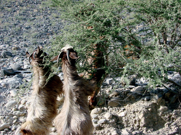
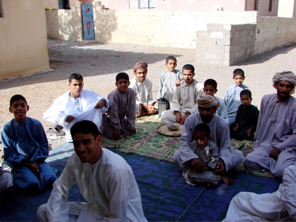
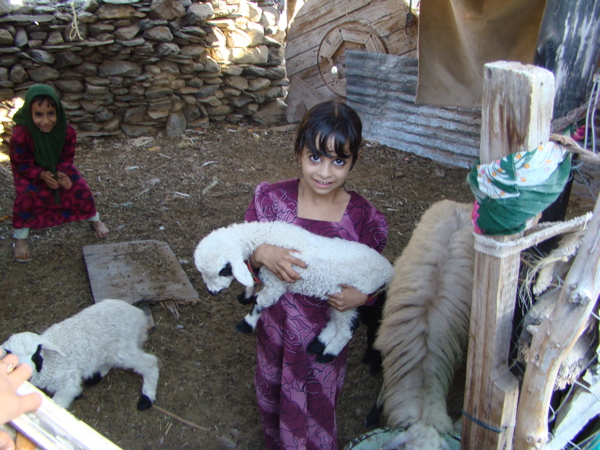
Omani might live along the road, and you might encounter the shepherd.
Omani might live along the road, and you might encounter the shepherd.
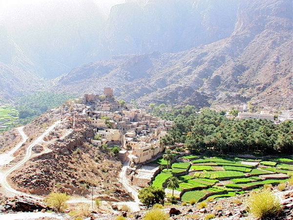
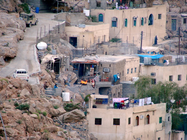
Bilad Sayt
There is a village where green overflows in the interior of the mountains road of Wadi Bani Awf.
The village is formed around the fort, and there are a field and a school.
The village is formed around the fort, and there are a field and a school.
Photo Album

Wadi Bani AWF 1
To Bilad Sayt 1
To Bilad Sayt 2

To Bilad Sayt 3

To Bilad Sayt 4

Bilad Sayt 1
Bilad Sayt 2
Bilad Sayt 3
Wadi Sahtan 1
Wadi Sahtan 2
Wadi Sahtan 3

Wadi Sahtan 4
Wadi Sahtan 5
Wadi Sahtan 6
Wadi Sahtan 7
Wadi Sahtan 8

Wadi Sahtan 9

Wadi Sahtan 10
Wadi Sahtan 11

Wadi Sahtan 12